Sedona is open; Oak Creek is not. The flood of Sunday 1 November 2026 undermined State Route 89A on the switchbacks at the head of Oak Creek Canyon, closed Red Rock State Park, and shut most of the national forest’s picnic sites and campgrounds along the creek. The red-rock trails are another matter: the Forest’s own pages for the Devil’s Bridge, Cathedral Rock, Bell Rock, Soldier Pass and Boynton Canyon trails carry no closure, and its road list keeps Schnebly Hill Road, Broken Arrow and Diamondback Gulch open. Its update of 18 November 2026 marked eight more of the district’s roads closed to vehicles, among them FR 152, the rough road to the Devil’s Bridge trailhead. The drive in from Flagstaff now goes the long way around, by I-17 and SR 179.
Below is every closure the flood left, place by place, each read from the agency that runs the place. The Forest’s flood alert lists 21 sites as affected, and affected is not closed: four of them read “Site Open” on their own pages, and two read partially closed. Where two of the Forest’s own notices disagree, we print both.
Status on 17 and 18 November 2026
Each status was read from its own source on the evening of 17 November 2026: the Forest’s and the state parks’ pages between 9:34 and 9:42 p.m. Arizona time, and ADOT, az511 and the City of Sedona between 7:20 and 7:30 p.m. The Mescal Trail’s was read on 18 November, at 4:23 a.m. Arizona time, Slide Rock’s water notice again at 8:03 a.m., Dead Horse Ranch’s trail notice again at 10:33 a.m., the Forest’s road list, updated that day, at 12:05 p.m., and the Palatki and Honanki pages between 1:48 and 2:28 p.m. Sedona keeps Mountain Standard Time all year. A Forest site page’s status line carries no date, and the “Last updated” stamp at the foot of most of them is older than the flood (Crescent Moon’s reads 20 June 2026), so each such status here carries the hour it stood; an order or an alert is dated as the Forest dates it.
The roads
| Road | Status | Source, and its date |
|---|---|---|
| SR 89A on the switchbacks, from about milepost 387, just south of Pine Flat Campground, to Oak Creek Vista at milepost 390 | Closed both ways, 3.5 miles; no estimated time for completion | ADOT, 11 November; az511, updated 16 November, 9:05 a.m. |
| SR 89A from Sedona up the canyon to milepost 387, past Slide Rock and the West Fork trailhead | Open; no parking along the highway, and a temporary signal north of Junipine Resort | ADOT, 6 and 11 November |
| SR 89A from Flagstaff down to Oak Creek Vista | Open to the overlook, which is itself closed | ADOT, 6 November |
| I-17 and SR 179 | Open: ADOT’s route between Sedona and Flagstaff | ADOT, 4, 6 and 11 November |
| SR 89A in West Sedona, milepost 369 to 374 | One lane at times, 6 p.m. to 6 a.m., 9 to 25 November, for road maintenance | az511, updated 6 November |
| The city’s “179 underpass” | Open in daylight, closed at night until its lighting is repaired | City of Sedona, 12 November, 9:30 a.m. |
| FR 215 to Bull Pen, FR 502 at FR 708 (Childs Road), FR 80 (Rattlesnake Canyon), FR 9D (the lower Powerline road near Fossil Creek) | Closed to vehicles | Forest road status, 18 November (already on its list of 9 November) |
| FR 152, the Vultee Arch OHV Trail: the unpaved Dry Creek Road to the Devil’s Bridge and Vultee Arch trailheads | Closed to vehicles since the list’s update of 18 November; the trail’s own page carries no closure, and Dry Creek Vista is the way in on foot | Forest road status, 18 November |
| The Outlaw OHV Trail (FR 9549), the Ranch Loop OHV Trail (FR 525A at FR 761), Cliffhanger Road (FR 9845), FR 119 (Montezuma Well N.M.), FR 121 (Lawrence Crossing), Blue Grade Road (FR 689) and FR 9202Y | Closed to vehicles since the list’s update of 18 November | Forest road status, 18 November |
| Schnebly Hill Road (all three sections), Broken Arrow, Diamondback Gulch, Boynton Pass Road, Red Canyon Road to Palatki and Honanki, Soldier Pass Road (by permit) | Open | Forest road status, 18 November |
Oak Creek Canyon, from Sedona north
| Place | Status | Source, and its date |
|---|---|---|
| Midgley Bridge Observation Site, about 2 miles north | Open; not on the flood alert | Its Forest page |
| Grasshopper Point Swimming & Picnic Area, about 2 miles north | Closed: “Temporarily closed due to severe flooding” | Its Forest page |
| Encinoso Picnic Site, 3 miles north of Midgley Bridge | Open | Its Forest page |
| Halfway Picnic Site, 5 miles north | Open | Its Forest page |
| Banjo Bill Picnic Site, 5 miles north | Closed for the flood, and under a rockfall order since 27 January 2025 | Its Forest page; order 03-04-06-25-01 |
| Manzanita Campground, 6 miles north | Closed for the flood | Its Forest page |
| Slide Rock State Park | Open; its swim area closed “due flood risk”, and no drinking water | Arizona State Parks, undated notice |
| Bootlegger Picnic Area, 9 miles north | Open | Its Forest page |
| Call of the Canyon Picnic Site, the West Fork trailhead, 9.5 miles north | Closed for the flood | Its Forest page |
| West Fork Trail No. 108 | Closed through 28 February 2027 under a Forest order for rockfall and flood debris after the Pocket Fire; its page reads “Trail Partially Closed” | Order 03-04-00-26-09, signed 22 October; alert updated 2 November |
| Cave Springs Campground, 13 miles north | Closed by order through 12 November 2028 | Order 03-04-06-26-05; alert updated 13 November |
| Pine Flat Campground, 13 miles north | Closed for the flood, on the closed stretch of 89A | Its Forest page; ADOT, 11 November |
| Oak Creek Vista, at the top of the switchbacks | Closed | Its Forest page |
| Oak Creek Canyon Scenic Drive | “Site Partially Closed”, for 89A | Its Forest page |
Sedona and Red Rock Crossing
| Place | Status | Source, and its date |
|---|---|---|
| Crescent Moon Picnic Site (Red Rock Crossing) | Closed: “Temporarily closed due to severe flooding” | Its Forest page |
| Crescent Moon Cabin | Closed for the flood | Its Forest page |
| Chavez Crossing Group Campground | Closed by order through 12 November 2028; its alert ends 12 November 2027 | Order 03-04-06-26-05; alert updated 13 November |
| Red Rock State Park | Closed “due to flooding of Oak Creek”; its walks canceled | Arizona State Parks, undated notice |
| The Devil’s Bridge, Cathedral Rock, Bell Rock Pathway, Soldier Pass, Boynton Canyon and Airport Loop trails | No closure and no alert | Their Forest pages |
| Mescal Trail No. 174C, off Long Canyon Road | “Trail Partially Closed”: closed at its Dry Creek crossing, just south of the trailhead, “due to flooding”; not on the flood alert | Its Forest page, read 18 November |
| Palatki and Honanki heritage sites | Closed: “Site Temporarily Closed”, with no cause given and no alert; both read “Site Open” on the morning of 18 November | Their Forest pages, read 18 November, 1:48 to 2:28 p.m. |
The Verde Valley and the creeks farther out
| Place | Status | Source, and its date |
|---|---|---|
| Dead Horse Ranch State Park, Cottonwood | Seven trails and Owl Road closed “due to hazardous conditions” | Arizona State Parks, undated; posted between 24 October and 8 November, cut from nine trails to seven on 18 November |
| Wet Beaver Creek | Open; its Beaver Creek Day Use Area closed by order through 12 November 2028 (the alert: 12 November 2027) | Its Forest page; order 03-04-06-26-05 |
| Bull Pen Day Use Area & Trailhead | Closed, and FR 215 to it | Its Forest page; road status, 18 November |
| West Clear Creek Trail No. 17 | Closed | Its Forest page |
| Childs Dispersed Camping Area | Closed, and FR 502 at FR 708 | Its Forest page; road status, 18 November |
| Dixon Lewis Trail (Fossil Creek Waterfall Trail) and Flume Trail No. 154, at Fossil Creek | Closed | Their Forest pages |
What the flood did
Heavy rain on Sunday 1 November 2026 put Oak Creek over flood stage. By 9:15 that morning the City of Sedona had put the neighborhoods and resorts along the creek, its evacuation zones 8, 9 and 10, in GO status; ADOT closed 89A from the Owenby Way roundabout in Sedona all the way to Flagstaff; and the flooded Bear Wallow pump station spilled sewage into the creek twice. The mayor signed a local proclamation of emergency on 2 November, the day the Forest posted its flood alert.
The town came back quickly. By 3 November most evacuation restrictions were lifted, zones 8, 9 and 10 were back in READY status and SR 179 had reopened between Ranger Road and Schnebly Hill Road; on 5 November road access was still limited on seven residential streets. ADOT reopened 89A from Sedona to Slide Rock by 6 November and five more miles of the canyon on 11 November. What stays shut is the 3.5 miles of switchbacks and most of what sits on the water.
State Route 89A and the way in from Flagstaff
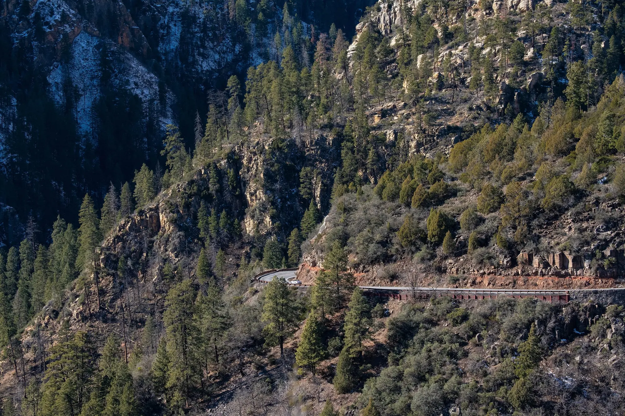
ADOT’s release of 11 November 2026 is the closure’s current text: “The highway remains closed from approximately milepost 387 just south of the Pine Flats Campground, which remains inaccessible, to the Oak Creek Vista scenic overlook at milepost 390.” The flood undermined the roadway and exposed guardrail supports, and “There is no estimated time for completion and travel between Sedona and Flagstaff is restricted to State Route 179 and Interstate 17.” The next day ADOT told KJZZ that work could not start until early 2027, with no timeline for reopening beyond that. On 16 November, at 9:05 a.m., az511’s alert still gave the same closure and no reopening date.
The road below the switchbacks is open from the Sedona end, up the canyon past Slide Rock and the West Fork trailhead to milepost 387. ADOT prohibits parking anywhere along the highway, runs a temporary signal through one damaged stretch north of Junipine Resort, and warned on 6 November that large vehicles may have little room to turn around. From the Flagstaff end, 89A is open south as far as the overlook, but Oak Creek Vista itself is closed.
So the drive from Flagstaff goes by I-17 and SR 179. From downtown Flagstaff to Uptown Sedona that way is about 58 miles and about an hour and a quarter before traffic and the roundabouts on SR 179, against about 29 miles and just under an hour down the canyon. From Flagstaff’s airport it is about 54 miles and 70 minutes, against 25 miles and 50. Getting to Sedona has the route in full, and from Phoenix, which the closure does not touch. The day trips north pass Flagstaff, so the Grand Canyon and Antelope Canyon tours take the long way too for now.
Two smaller notices touch the roads in town. On 12 November the city reopened what it calls the “179 underpass” in daylight only: the flood damaged its lighting, and until that is repaired it is closed at night, with signs. Nothing on the city’s recovery page since says the lighting is fixed. And ADOT scheduled road maintenance on 89A in West Sedona, between roughly Upper Red Rock Loop Road and the SR 179 roundabout (milepost 369 to 374), from 9 to 25 November 2026: one lane at times between 6 p.m. and 6 a.m., with both lanes open in daylight.
Oak Creek’s picnic sites and campgrounds
The Forest’s flood alert, last updated 13 November 2026, reads: “Parts of the Red Rock Ranger District, including Oak Creek Canyon, are currently affected by severe flooding. Many recreation sites and other areas are closed as a matter of employee and public safety.” Its list of 21 “Rec Sites Affected” is not a list of closures. Each site’s own page carries its status, and four of the 21 read “Site Open” there: the Bootlegger, Halfway and Encinoso picnic sites in the canyon, and Wet Beaver Creek. Midgley Bridge, at the mouth of the canyon, is not on the list at all and is open.
Three campgrounds in the canyon, Pine Flat, Manzanita and Cave Springs, are closed, and so are two of the creek’s swimming places, Grasshopper Point and Crescent Moon. Crescent Moon is Red Rock Crossing, the view of Cathedral Rock across the creek; its picnic site and its rental cabin are both closed for the flood, while the Cathedral Rock trail itself carries no closure.
Three closures run on a Forest order. Order 03-04-06-26-05 closed Cave Springs Campground, Chavez Crossing Group Campground and the Beaver Creek Day Use Area on Wet Beaver Creek, with the roads into them (FR 89D, FR 623, and FR 618B beyond its gate), “from November 12, 2026, through November 12, 2028, unless rescinded.” The three alerts that carry it disagree: Cave Springs’ gives the order’s 12 November 2028, but Chavez Crossing’s and Beaver Creek’s give 12 November 2027. The order is the text the Forest signed, so we take 2028 as the end, and the year between is the Forest’s to settle.
Banjo Bill was shut before the flood. Order 03-04-06-25-01 has closed the Banjo Bill Picnic Site since 27 January 2025 “to protect public health and safety within an active rock fall area,” through 27 January 2027 at 12:00 a.m. unless rescinded. Its Forest page now gives the flood as the reason, and the rockfall order stands beside it.
Visit Sedona’s flood update of 3 November listed Crescent Moon, Grasshopper Point and Slide Rock as “restricted or unconfirmed”. That was the earlier reading; the Forest’s and the state parks’ own pages have since settled all three, as above.
The West Fork
The West Fork Trail is on the flood alert’s list, but its closure is older than the flood and has its own cause: rockfall and flood debris in the watershed affected by the Pocket Fire. Order 03-04-00-26-007 closed it from 26 September to 31 October 2026, and order 03-04-00-26-09, signed on 22 October, carries it on “from November 1, 2026, at 12:00 am through February 28, 2027, at 11:59 p.m., unless rescinded.” The alert’s title says “Extension to 2/27/27”; the order runs a day longer.
The order closes “all National Forest System Lands within 100 feet of the West Fork of Oak Creek drainage” from Forest Road 231 down to the Red Rock-Secret Mountain Wilderness boundary, and “the entirety of the West Fork (Trail #108) within the Red Rock Secret Mountain Wilderness.” The trail’s own Forest page reads “Trail Partially Closed”, but the order’s map marks no stretch of the trail open, and its trailhead, the Call of the Canyon Picnic Site, is closed for the flood. We call no part of it open.
The state parks
Red Rock State Park is closed. Arizona State Parks: “Red Rock State Park is closed due to flooding of Oak Creek and resulting damage to drives, parking lots, and trails at the park.” Its daily nature walks and its bird walks are canceled while it is closed.
Slide Rock State Park is open, but not for swimming. Its notice on the evening of 17 November: “The swim area is closed due flood risk.” The park also has no water for drinking or hand washing; by the morning of 18 November its notice offered hand sanitizer instead. The swim notice had changed during 17 November: at 9:56 a.m. Arizona time it read “Due to rainy conditions, swimming is not recommended, and caution is advised.” Hours, fees and the slide itself are on our Slide Rock page.
Dead Horse Ranch State Park, in Cottonwood, posts no closure of the park, but seven of its trails are shut: “The following trails are closed and accessing these trails is strictly prohibited due to hazardous conditions: Jail, Blackhawk, River Loop, Hickey Ditch, Forest Loop, Canopy, Verde River.”, and Owl Road is closed. The notice is undated and names no cause beyond those hazardous conditions; it was not on the park’s page on 24 October 2026 and was there on 8 November, listing nine trails. On 18 November 2026 the Arroyo Nature and Tavasci Marsh trails came off the list.
The creek itself
Stay out of Oak Creek for now. The flooded Bear Wallow pump station spilled about 2,700 gallons of sewage into the creek at about 9:45 a.m. on 1 November 2026, and more at about 7 p.m., an amount the city has not determined. For both, the city’s sewer-spill page says “Water quality sampling has not occurred for safety reasons,” and on 17 November it still posted no test result from after the flood. On 3 November Visit Sedona’s advice was the same as ours: “Visitors and residents should avoid entering the creek due to flood hazards and reported sewage contamination.”
What is open
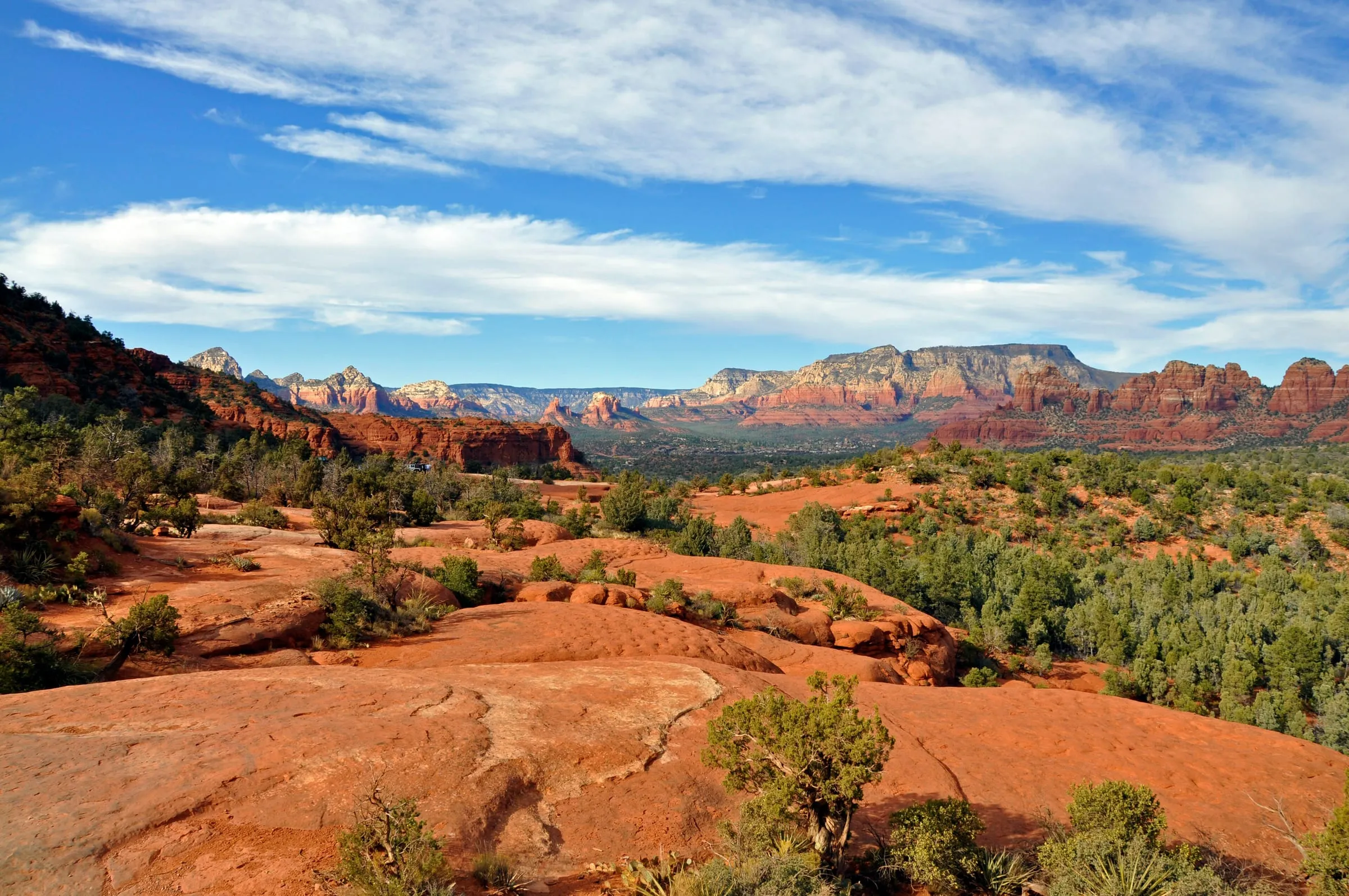
Most of what visitors come for is up on the red rock, away from the creek. On 3 November Visit Sedona reported most businesses in the region unaffected and welcoming guests. On 17 November the Forest’s pages for the Devil’s Bridge, Cathedral Rock, Bell Rock Pathway, Soldier Pass, Boynton Canyon and Airport Loop trails carried no status line and no alert, and none of them is on the flood alert or under an order on the Forest’s alerts page. The Palatki and Honanki heritage sites are closed: their Forest pages read “Site Open” on the morning of 18 November 2026 and “Site Temporarily Closed” that afternoon, with no cause given, and neither site is on the flood alert or the alerts page.
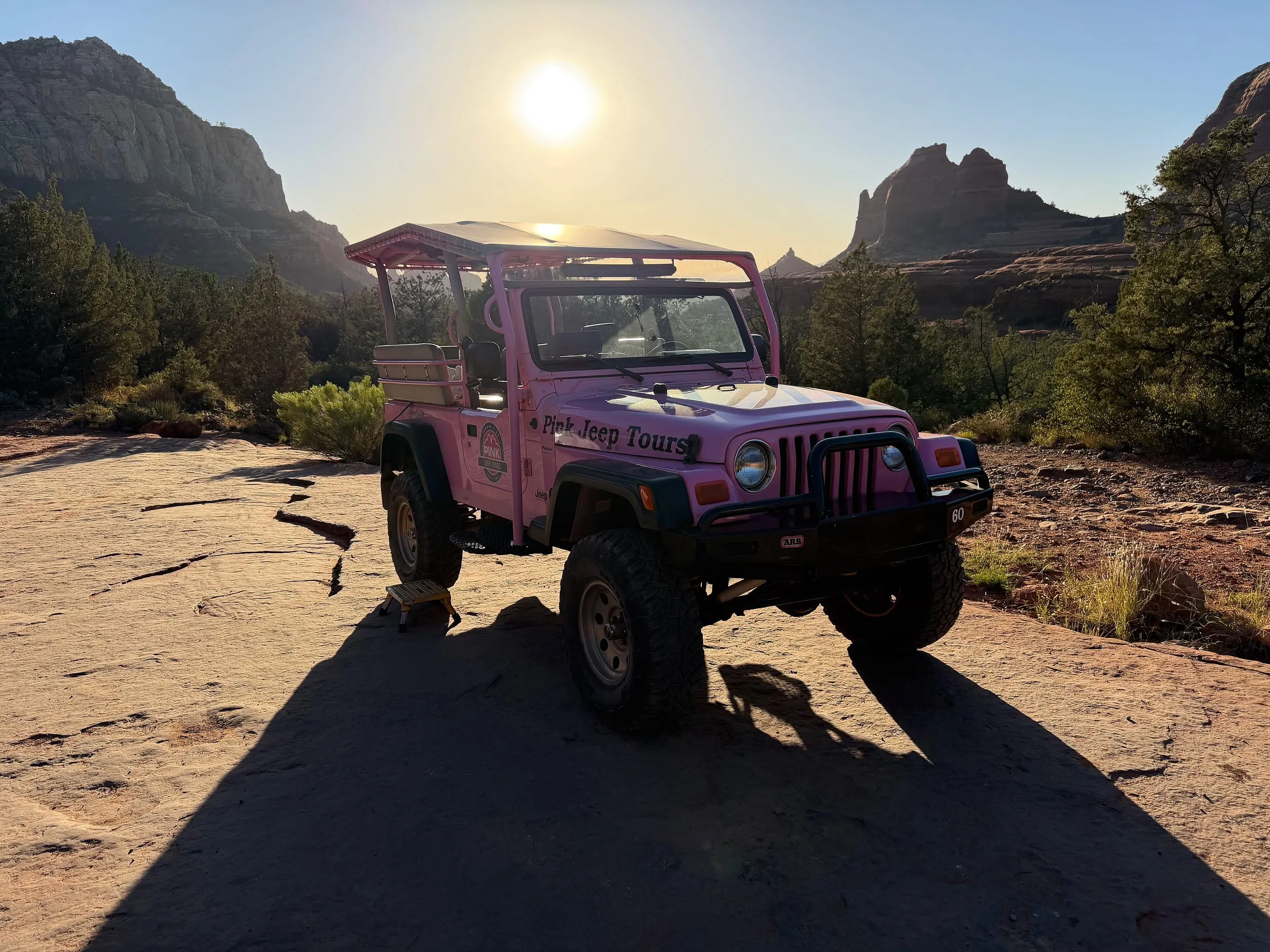
The Forest’s road list, last updated on 18 November 2026, keeps most of the Red Rock district’s jeep roads open: all three sections of Schnebly Hill Road, Broken Arrow, Diamondback Gulch, Soldier Pass Road by permit, and the roads out to Boynton Pass, Palatki and Honanki, though both heritage sites are closed. Our jeep tours and ATV and UTV tours and rentals pages say which trips and rentals use which.
That update of 18 November marked eight of the district’s roads closed that the list of 9 November had open: FR 152, the Vultee Arch OHV Trail, which is the unpaved Dry Creek Road to the Devil’s Bridge and Vultee Arch trailheads; the Outlaw OHV Trail (FR 9549); the Ranch Loop OHV Trail (FR 525A at FR 761); Cliffhanger Road (FR 9845); FR 119, which the list names for Montezuma Well; FR 121 to Lawrence Crossing; Blue Grade Road (FR 689); and FR 9202Y. The list gives no cause and no date for reopening, and on it a road marked Closed “is only closed to motorized vehicles unless otherwise noted.” So the drive to the Devil’s Bridge trailhead is closed, while the trail itself carries no closure on its Forest page: walk in from Dry Creek Vista, as our Devil’s Bridge page describes. The district’s other closed roads are FR 215 to Bull Pen, FR 502 at FR 708 on the way to Childs, FR 80 in Rattlesnake Canyon east of I-17, and the lower Powerline road near Fossil Creek.
Where these facts come from, and which one wins
- The Coconino National Forest posts its orders and alerts on one page, each site’s status on that site’s own page, and its road list on a page of its own. Where they disagree we follow the order over its alert, a site’s own page over the flood alert’s list, and a dated line over an undated one. The Red Rock Ranger District’s visitor center, the contact on the flood alert, is on (928) 203–2900.
- The Arizona Department of Transportation dates each release on the canyon road, and az511 (the site, its app, or 511 by phone) carries the closure as it stands.
- Arizona State Parks posts each park’s notices at the top of its page, undated; Slide Rock’s changed within 17 November.
- The City of Sedona posts its flood recovery page, dated by update, its news releases and its sewer-spill page.
- Visit Sedona’s flood update is dated 3 November 2026, 1:20 p.m., and where it differs from a land manager’s own page, the land manager’s wins.
- KJZZ, on 12 November 2026, carried ADOT’s word on when work can start.
Every line on this page was read against these sources on 17 November 2026, and the Mescal Trail’s, Slide Rock’s water notice, Dead Horse Ranch’s trail notice, the Forest’s road list and the Palatki and Honanki pages on 18 November.